|
Guernsey – Alderney
40th Anniversary of the Coronation of Queen Elizabeth II
1993 Proof
Piefort Silver 2 Pounds 38.61mm (67.78 grams with plastic
enclosure) 0.925 Silver (1.682 oz. ASW)
Reference: Cf KM# 5a (Piefort
double weight)| Engraver: Raphael David Maklouf, John Savage
QUEEN ELIZABETH THE SECOND RDM 1993, Elizabeth facing right.
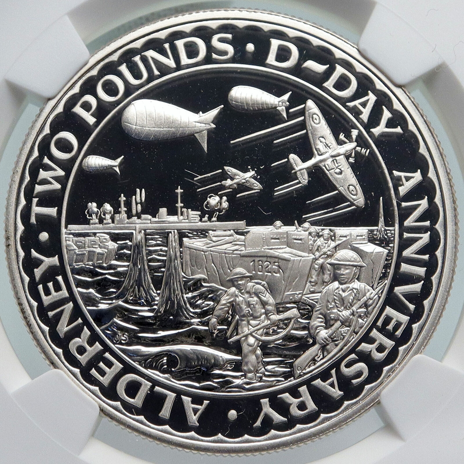
ALDERNEY·TWO POUNDS·CORONATION ANNIVERSARY JS, Royal carriage with guards and flags in front.
You are bidding on the exact item pictured, provided with a Certificate of Authenticity and Lifetime Guarantee of Authenticity.
 Alderney is the northernmost of the inhabited Channel Islands. It is part of the Bailiwick of Guernsey, a British Crown dependency. It is 3 miles (5 km) long and 1 1⁄2 miles (2.4 km) wide. The area is 3 square miles (8 km2), making it the third-largest island of the Channel Islands, and the second largest in the Bailiwick. It is around 10 miles (15 km) to the west of La Hague on the Cotentin Peninsula, Normandy, in France, 20 miles (30 km) to the north-east of Guernsey and 60 miles (100 km) from the south coast of Great Britain. It is the closest of the Channel Islands to France and to the United Kingdom. It is separated from Cap de la Hague by the dangerous Alderney Race (French: Raz Blanchard). Alderney is the northernmost of the inhabited Channel Islands. It is part of the Bailiwick of Guernsey, a British Crown dependency. It is 3 miles (5 km) long and 1 1⁄2 miles (2.4 km) wide. The area is 3 square miles (8 km2), making it the third-largest island of the Channel Islands, and the second largest in the Bailiwick. It is around 10 miles (15 km) to the west of La Hague on the Cotentin Peninsula, Normandy, in France, 20 miles (30 km) to the north-east of Guernsey and 60 miles (100 km) from the south coast of Great Britain. It is the closest of the Channel Islands to France and to the United Kingdom. It is separated from Cap de la Hague by the dangerous Alderney Race (French: Raz Blanchard).
  As of 2018, the island had a population of 2,039; natives are traditionally nicknamed vaques after the cows, or else lapins after the many rabbits seen in the island. Formally, they are known as Ridunians, from the Latin Riduna. As of 2018, the island had a population of 2,039; natives are traditionally nicknamed vaques after the cows, or else lapins after the many rabbits seen in the island. Formally, they are known as Ridunians, from the Latin Riduna.
The only parish of Alderney is the parish of St Anne, which covers the whole island.
The main town, St Anne, historically known as La Ville (“The Town”), is often referred to as “St Anne’s” by visitors and incomers, but rarely by locals (who, in normal conversation, still most frequently refer to the area centred on Victoria Street simply as “Town”). The town’s “High Street”, which formerly had a small handful of shops, is now almost entirely residential, forming a T-junction with Victoria Street at its highest point. The town area features an imposing church and an unevenly cobbled main street: Victoria Street (Rue Grosnez – the English name being adopted on the visit of Queen Victoria in 1854). There is one school (providing both primary and secondary education), a post office, and hotels, as well as restaurants, banks and shops. Other settlements include Braye, Crabby, Longis, Mannez, La Banque, and Newtown.
 Guernsey is an island in the English Channel off the coast of Normandy. It lies roughly north of Saint-Malo and to the west of Jersey and the Cotentin Peninsula. With several smaller nearby islands, it forms a jurisdiction within the Bailiwick of Guernsey, a Crown dependency. The jurisdiction is made up of ten parishes on the island of Guernsey, three other inhabited islands (Herm, Jethou and Lihou), and many small islets and rocks. Guernsey is an island in the English Channel off the coast of Normandy. It lies roughly north of Saint-Malo and to the west of Jersey and the Cotentin Peninsula. With several smaller nearby islands, it forms a jurisdiction within the Bailiwick of Guernsey, a Crown dependency. The jurisdiction is made up of ten parishes on the island of Guernsey, three other inhabited islands (Herm, Jethou and Lihou), and many small islets and rocks. 

The German occupation of the Channel Islands lasted for most of the Second World War, from 30 June 1940 until their liberation on 9 May 1945. The Bailiwick of Jersey and Bailiwick of Guernsey are two British Crown dependencies in the English Channel, near the coast of Normandy. The Channel Islands were the only part of the British Isles to be occupied by the Wehrmacht (German Armed Forces) during the war.
Anticipating a swift victory over Britain, the occupiers experimented by using a very gentle approach that set the theme for the next five years. The island authorities adopted a similar attitude, giving rise to accusations of collaboration. However, as time progressed the situation grew gradually worse, ending in near starvation for both occupied and occupiers during the winter of 1944-45.
|


 Alderney is the northernmost of the inhabited Channel Islands. It is part of the Bailiwick of Guernsey, a British Crown dependency. It is 3 miles (5 km) long and 1 1⁄2 miles (2.4 km) wide. The area is 3 square miles (8 km2), making it the third-largest island of the Channel Islands, and the second largest in the Bailiwick. It is around 10 miles (15 km) to the west of La Hague on the Cotentin Peninsula, Normandy, in France, 20 miles (30 km) to the north-east of Guernsey and 60 miles (100 km) from the south coast of Great Britain. It is the closest of the Channel Islands to France and to the United Kingdom. It is separated from Cap de la Hague by the dangerous Alderney Race (French: Raz Blanchard).
 As of 2018, the island had a population of 2,039; natives are traditionally nicknamed vaques after the cows, or else lapins after the many rabbits seen in the island. Formally, they are known as Ridunians, from the Latin Riduna.
  Guernsey is an island in the English Channel off the coast of Normandy. It lies roughly north of Saint-Malo and to the west of Jersey and the Cotentin Peninsula. With several smaller nearby islands, it forms a jurisdiction within the Bailiwick of Guernsey, a Crown dependency. The jurisdiction is made up of ten parishes on the island of Guernsey, three other inhabited islands (Herm, Jethou and Lihou), and many small islets and rocks.


