|
Greek city of Mallos (Mallus) in Cilicia
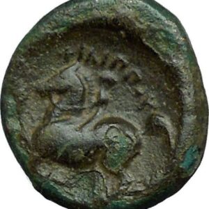
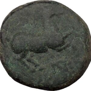
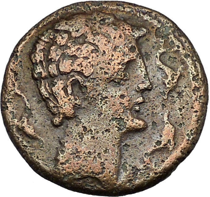
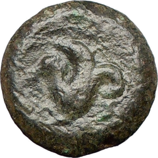
Silver Stater 23mm Struck circa 440-385 B.C.
Reference: SNG France 378-81 var. (symbol on rev.). SNG von Aulock 5708-9 var. (same); cf. Sear 5559
Certification: NGC Ancients Ch F 4254163-008
Winged male figure advancing right, holding solar disk with both hands.
Swan standing left, amphora to left, ankh to right, all within pelleted square border within incuse square.
You are bidding on the exact item pictured, provided with a Certificate of Authenticity and Lifetime Guarantee of Authenticity.
Mallus was an ancient city of Cilicia Campestris (later Cilicia Prima) lying near the mouth of the Pyramus (now the Ceyhan Nehri) river, in Anatolia. In ancient times, the city was situated at the mouth of the Pyramus (which has changed course since), on a hill opposite Magarsus which served as its port. The district was called from it, Mallotis. The location of the site is currently inland a few km from the Mediterranean coast on an elevation in the Karataş Peninsula, Adana Province, Turkey, a few km from the city of Karataş.
History
According to Strabo, Mallus was founded by Amphilochus and Mopsus, sons of Apollo, who together founded Mallus after they left Troy following the Trojan War and whom Strabo credits with powers of divination. Alexander the Great erected a bridge over the Pyramus and visited Mallus during his conquest of the region, and at Mallus he performed sacrifices to Amphilochus. Alexander also exempted the town from paying taxes.
It allied itself with Tarsus against Antiochus IV Epiphanes, who according to the Bible, had presented both cities to his concubine Antiochis. Mallus was a town of considerable importance, though it does not appear to have possessed any particular attractions. In the second century B.C., it was the hometown of the notable philosopher and grammarian Crates of Mallus, credited with having built the first known globe; however, he left the city at a young age and his scholarly career mainly took place elsewhere.
Its port-town was Magarsa, though in later times it seems to have had a port of its own, called Portus Palorum. Numerous coins from Mallus have been preserved, and those of the third century bear the inscription Mallus Colonia or Colonia Metropolis Mallus. The city is mentioned by numerous ancient authors, and in the Middle Ages by Arabian, Armenian, and Italian writers. The city declined in importance and disappeared with the Armenian Kingdom of Cilicia. The ancient site of Antiochia ad Pyramum lies a few km away on the coast.
Mallus figures in the various revisions of the Antiochene Notitiae Episcopatuum as suffragan of Tarsus. Six bishops are recorded. Bematius, present at the Council of Antioch (377); Valentine, present at the First Council of Ephesus (431) and the Council of Tarsus (434); Chrysippus at the Council of Chalcedon (451). The see is included in the Catholic Church’s list of titular sees. No titular bishop of the see has been appointed since the death of its last bishop in 1990.
Location
The precise location of Mallus has been the subject of some study. From the ancient sources we learn that it was situated near the mouth of the river Pyramus, on an eminence opposite to Megarsus (modern Karataş), as we must infer from Quintus Curtius, who states that Alexander entered the town after throwing a bridge across the Pyramus. Mallus therefore stood on the eastern bank of the river. According to Scylax (p. 40) it was necessary to sail up the river a short distance in order to reach Mallus; and Pomponius Mela (i.13) also states that the town is situated close upon the river; whence Ptolemy (v.8.4) must be mistaken in placing it more than two miles away from the river.
Mallus is commonly believed to be in the town of Kızıltahta, Adana Province. The nearby town of Terkosan is mentioned being its necropolis. The city’s location at Kızıltahta has been extrapolated by reference to the ancient sources. Stadiasmus indicates that Mallus was 150 stades away from Megarsus (Megarsus is identified to be modern Karataş). One stadia equals 600 feet and 150 stades is 27.4 km. When this distance is measured from Karataş within a 1:100,000 scale map of Turkey, the city’s location is in the periphery of Kızıltahta.
In antiquity, Cilicia was the south coastal region of Asia Minor and existed as a political entity from Hittite times into the Armenian Kingdom of Cilicia during the late Byzantine Empire. Extending inland from the southeastern coast of modern Turkey, Cilicia is due north and northeast of the island of Cyprus and corresponds to the modern region of Çukurova in Turkey.

|


